Map of a survey of Weybridge Eyot, carried out on the 26-27 June 1899. Signed by the surveyor Owen H Clarke.
Map and plan from a survey of the River Thames towpath at Boveney. Including cross sections of the river and dating to c1933.
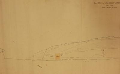
Map of Sunbury Lock Island from a survey dated August 1932. Scale 40 feet to 1 inch.
Ordnance survey map from 1934, centered around Hounslow Heath, Middlesex.
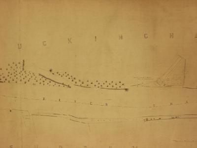
Ordnance survey map from 1934, centred around Hanworth, Middlesex.
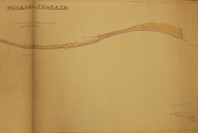
Map showing the River Thames tow path near Boveney. Dated April 1930. Colour coded to show land ownership.
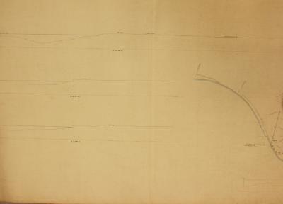
Map of the River Thames from Buscot Lock downstream to Grafton Lock. The map shows survey marks related to ordnance data. A scale is included.
Map of Odney Weir stream near Cookham from a survey done in August 1922.
Map/chart of a survey of the River Thames towpath above Sonning Bridge, dated December 1928.
Map of part of the River Thames from the varnish works at Egham to Bell Weir Lock. Probably a Thames Conservancy map.