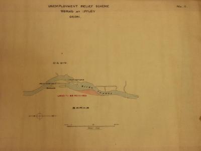
A map of Iffley Lock and area, showing the projected works as part of the unemployment relief scheme of 1924. Scale 1-2500.
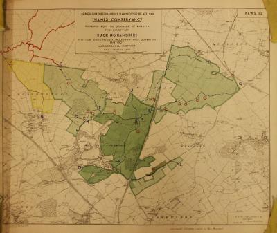
A Thames Conservancy map for land drainage in Buckinghamshire. Dated November 1941.
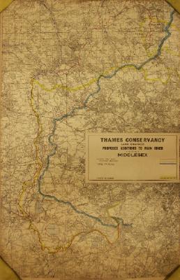
A Thames Conservancy map for land drainage and proposed additions to the main River Thames in Middlesex.
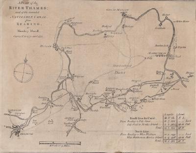
A map of the Thames and the proposed navigable canal from Reading to Monkey Island. Surveyed in 1770 and 1771.
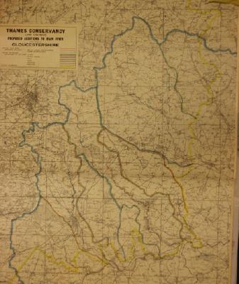
A Thames Conservancy map for land drainage and proposed additions to the main River Thames in Gloucestershire.
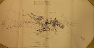
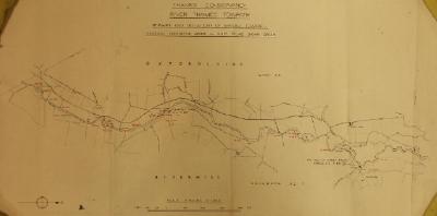
A Thames Conservancy towpath map for Godstow Lock to the River Cherwell in Oxford, showing bridges and gates. Scale 6"-1 mile.
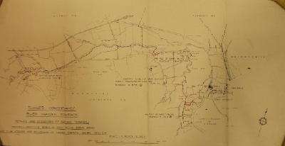
A Thames Conservancy towpath map for Radcot to Chimney, showing bridges and gates, together with proposed repairs and deviations.
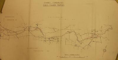
A Thames Conservancy towpath map for Godstow Lock to Swinford Bridge, showing bridges and gates.
A Thames Conservancy towpath map for Northmoor Lock to Pinkhill Lock, showing bridges and gates.
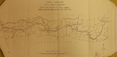
A Thames Conservancy towpath map for Buscot to Radcot, showing footbridges and gates.