"A Pocket map of London Westminster and Southwark, with the new buildings to the year 1760, not extant in any other map. Extends from Hyde Park East to Wapping and Hoxton South to Lambeth Palace."
Original painted map of Henley on Thames and the River Thames. Showing areas and landmarks associated with Jan Siberechts' paintings of the River Thames near Henley. The map shows possible venues from which the views might have been seen.
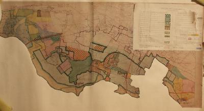
Planning map for South Bucks joint planning committee for the area of Dorney and Eton Wick.
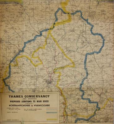
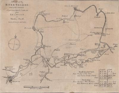
One of a large collection of maps on loan from the Environment Agency, and originally collected by them for engineering and maintenance purposes.