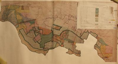
Planning map for South Bucks joint planning committee for the area of Dorney and Eton Wick. One of a large collection of maps on loan from the Environment Agency, and originally collected by them for engineering and maintenance purposes.
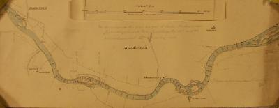
Chart showing the soundings (for dredging) between Hambledon and Hurley
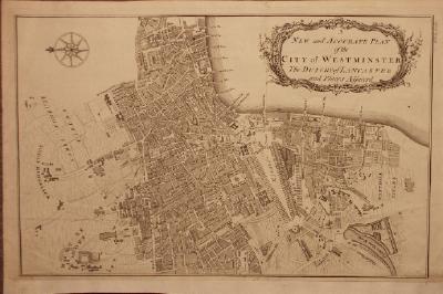
'A New and Accurate Plan of the City of Westminster The Dutchy of Lancaster and Places Adjacent' By B. Cole, c.1755.
Map of part of the River Thames near Chertsey showing the proposed site of the lock.
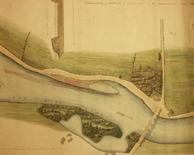
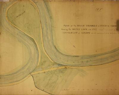
A map and plan for the proposed lock and cut at Penton Hook. Dated 1814.
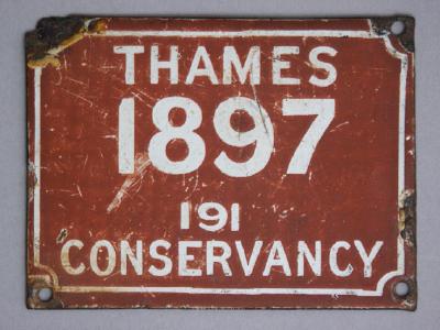
Thames Conservancy boat registration plate from 1897.
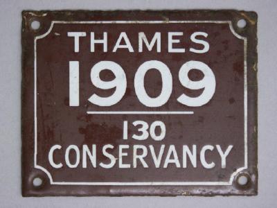
Thames Conservancy boat registration plate from 1909.
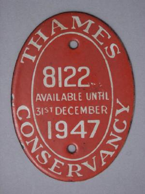
Thames Conservancy boat registration plate, from 1947.
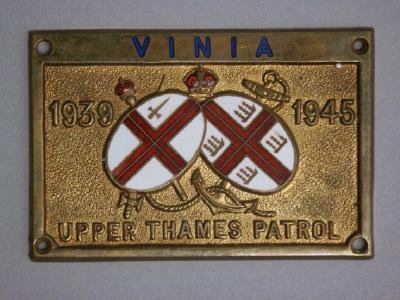
Thames Conservancy Upper Thames Patrol boat registration plate, for the boat "Vinia", from 1939-1945.
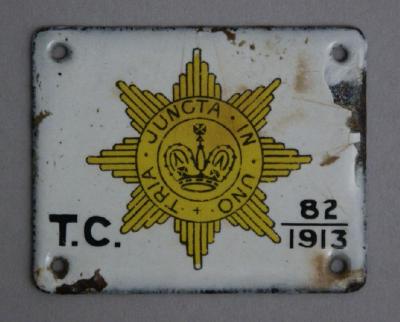
Thames Conservancy boat registration plate dated 1913.