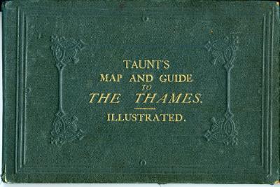
Taunt's Map and Guide to The Thames from Oxford to London, Pocket Edition.
By Henry W Taunt, photographer to the Oxford Architectural Society.
Published by Henry W. Taunt, Oxford in May 1873.
A ninety four page hard bound book including sections of map and complimentary text.
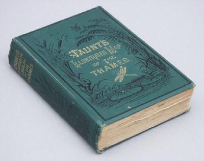
Taunt's illustrated map of the Thames, 'A new map of the Thames from Thames Head to London' 5th edition, 1878 by Henry W Taunt, photographer to the Oxford Architectural and Historical Society.
Book - 'Taunts Map and Guide to The Thames - Illustrated', 1873.
Annotated by F. Willam, July 10th 1874.
Loose within the book are a 'Souvenir Art programme of the Super Spectacle, The Ace of Canines Acts' and a newspaper cutting which appears to be from the Second World War showing the allied advancement into Germany.